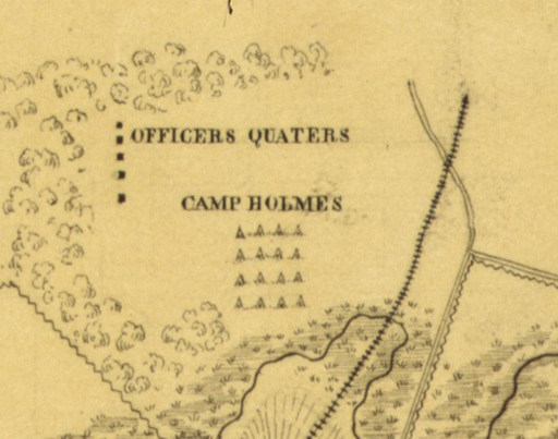
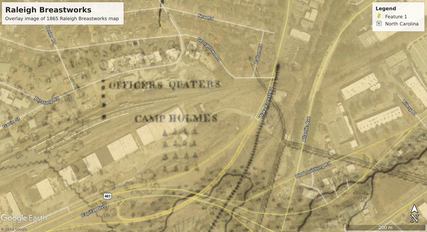
Camp Holmes (including “officers quaters”)
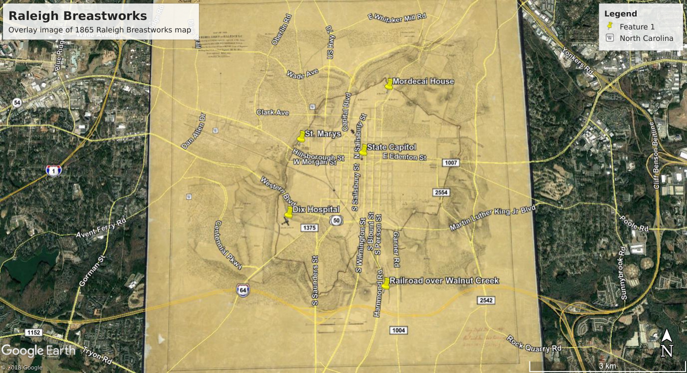
A friend shared a historical map this morning that caught my eye. It is a
map of the old breastworks built by the city of Raleigh to impede approaching Union troops near the end of the Civil War. I’d seen the
historical marker (H-30) a mile away from my home, mentioning that breastworks were nearby but I’d never seen them and didn’t think much about them until now. So, one of my upcoming projects is to trace the path of the old earthen walls so that I can visit these sites to see if there’s anything left (
update: found them!). After 153 years, it’s unlikely I’ll find any remnants of the five-foot-tall earthen walls and gravel but you never know.
Another detail of the map caught my eye, however: Camp Holmes. Curious about what this is, I did a few Google searches and was surprised to learn that nobody really knows where it was. It’s plainly on this old map, however, so a bit of Google Earth magic should show me roughly where I can physically search for it (update: found it!)
My Camp Holmes searches brought up a few lonely hits, one of which is a letter detailing an inspection made of Camp Holmes by Confederate assistant adjutant-general LtC Archer Anderson in June 1864. It provides an interesting look at the camp. There are others online, too, in the form of handwritten letters which will take some deciphering before being posted online.
As the letter appeared in a US Congressional publication in 1900 it is now in the public domain. Here it is in its entirety. I’ll post more stories as I learn more about the camp.
June 16, 1864.
Report of inspection of Camp Holmes, a camp of instruction near Raleigh, commanded by Major Hahr, with the following: staff: One first lieutenant, adjutant; one first lieutenant, receiving officer; one assistant quartermaster; one assistant commissary of subsistence; one surgeon and one assistant surgeon; one chaplain; one first lieutenant, commanding guard; four second lieutenants, drill-masters.
Continue reading →
