

Wake Forest Road in 1965
On a whim I looked back at the 1965 aerial photo I got from the North Carolina Geological Survey when I was researching the Raleigh Speedway. It turns out this photograph nicely covers the Wake Forest Road area north of the Beltline! This means it probably shows Isaac Hunter’s Tavern, but the question is where?
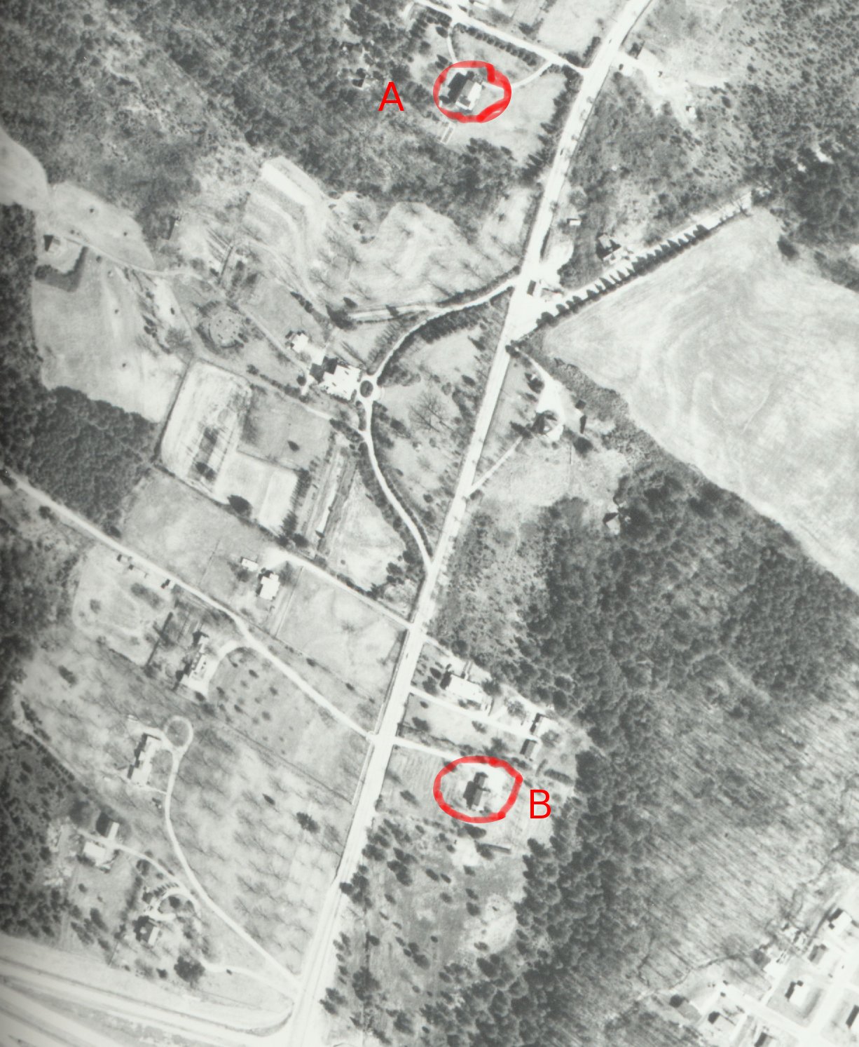
Looking at this shot you can see many residential-type buildings along the road. At the bottom is the Beltline, still being constructed and at the top of the photo you can see the eastern half of St. Albans Drive branching off. This area roughly corresponds to this modern-day view shown on Google Maps.
Now my Navy military-intelligence training did not make me a satellite imagery expert, but looking at this photo and comparing it to the roof of the tavern as shown in the Flickr images it’s pretty easy to rule out many of the buildings shown. Second-story homes cast longer shadows and the tavern is decidedly single-story. There are also homes with much fancier rooflines than the tavern, so those are easily ruled out. What does that leave? I’ve (crudely) highlighted two buildings that seem like good candidates.
Continue reading
