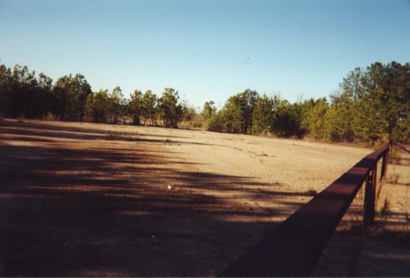
The new start of runway 32, taken from the parking lot of the mall building. The trees near the horizon frame the infamous industrial park road added later. The foreground shows the steel rails that fence off the property from the mall parking lot.
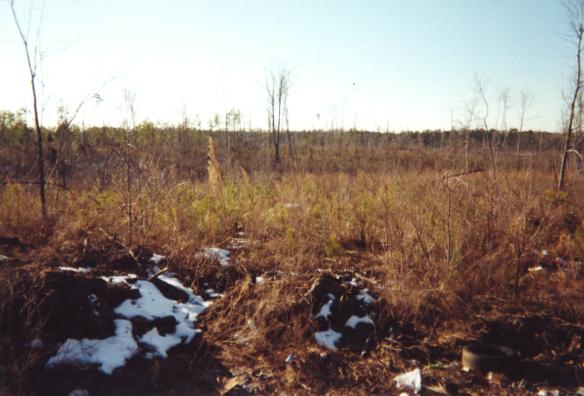
A shot of the airfield looking west, taken from the NE corner's road. Lots of scrubby woods.
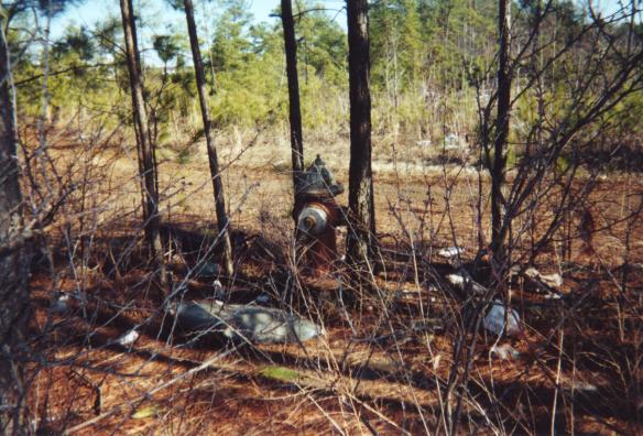
A lonely fire hydrant invades the middle of the airfield. It sits near the new road and the intersections of runways 4 and 32.
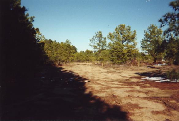
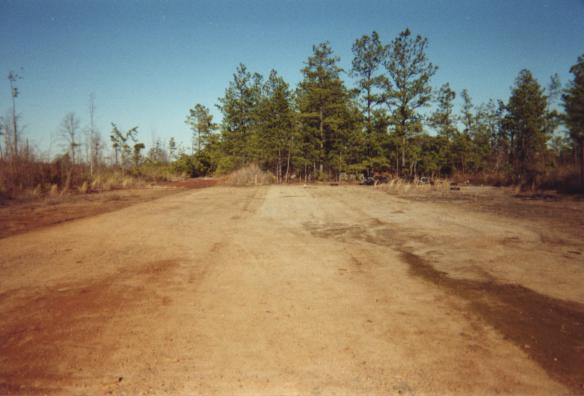
Heading right from the last picture, we come to the end of the line for runway 4. It intersects runway 32 in the background. The mall building sits just outside the picture to the right.
A look east down the access road near where runways 27 and 22 intersect. You can see a streetlight from the mall parking lot in the distance.
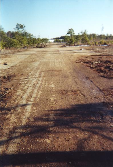
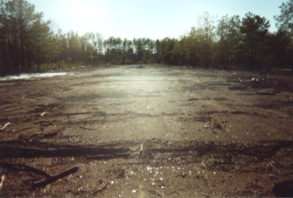
A long look down runway 14, towards the hanger area. At the end of the runway is the white mall building. There is a scraggly pine tree growing in the runway on the left side of the picture.
The view from the middle of runway 4. A large clump of trees have taken root here.
Backing up a bit on runway 4, we see some old tires.
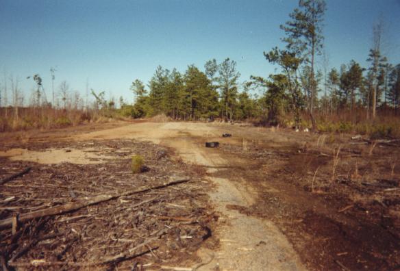
A longer view of runway 4, behind a second clump of trees growing in the runway.
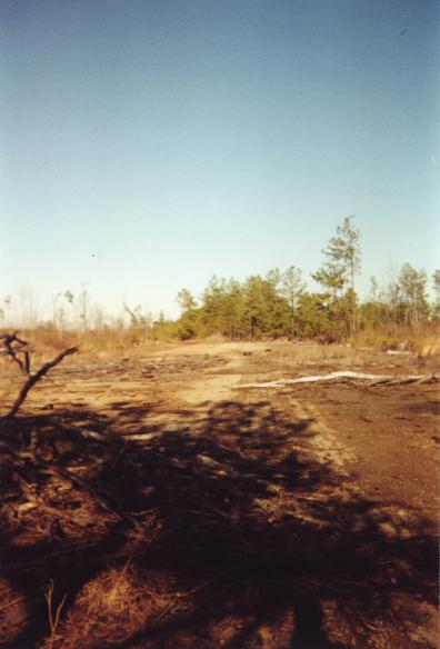
A look back to the end of runway 22. Tryon Road is just beyond the trees.
Back to main page.
All photographs are copyright 2002 by Mark Turner and may be distributed subject to the terms of the OpenContent License.